The island of Hawai’i could be called triangular. The west coast roughly runs north to south. From its northern tip, though, the coast runs northwest to southeast. Then from that easternmost point it runs northeast to southwest to join up with the west coast. Situated inland from the southeast-facing coastline lies Volcanoes National Park. Volcanoes presents much more than just dormant craters. Its most active feature (inland) turned out to be the first thing we saw: steam vents. Craters? I found their vastness difficult to comprehend.
I’m not even sure the photo above shows only Kilauea. I see “Hale Ma’uma’u Crater” on the ol’ Google Maps. Lava flowed in 1919, 1921, 1954, 1959, and on and on I would guess. I paid little attention to information, so I’ve only myself to blame! Seeing it seemed more important than reading about it on signs, the internet, pamphlets, and the like.
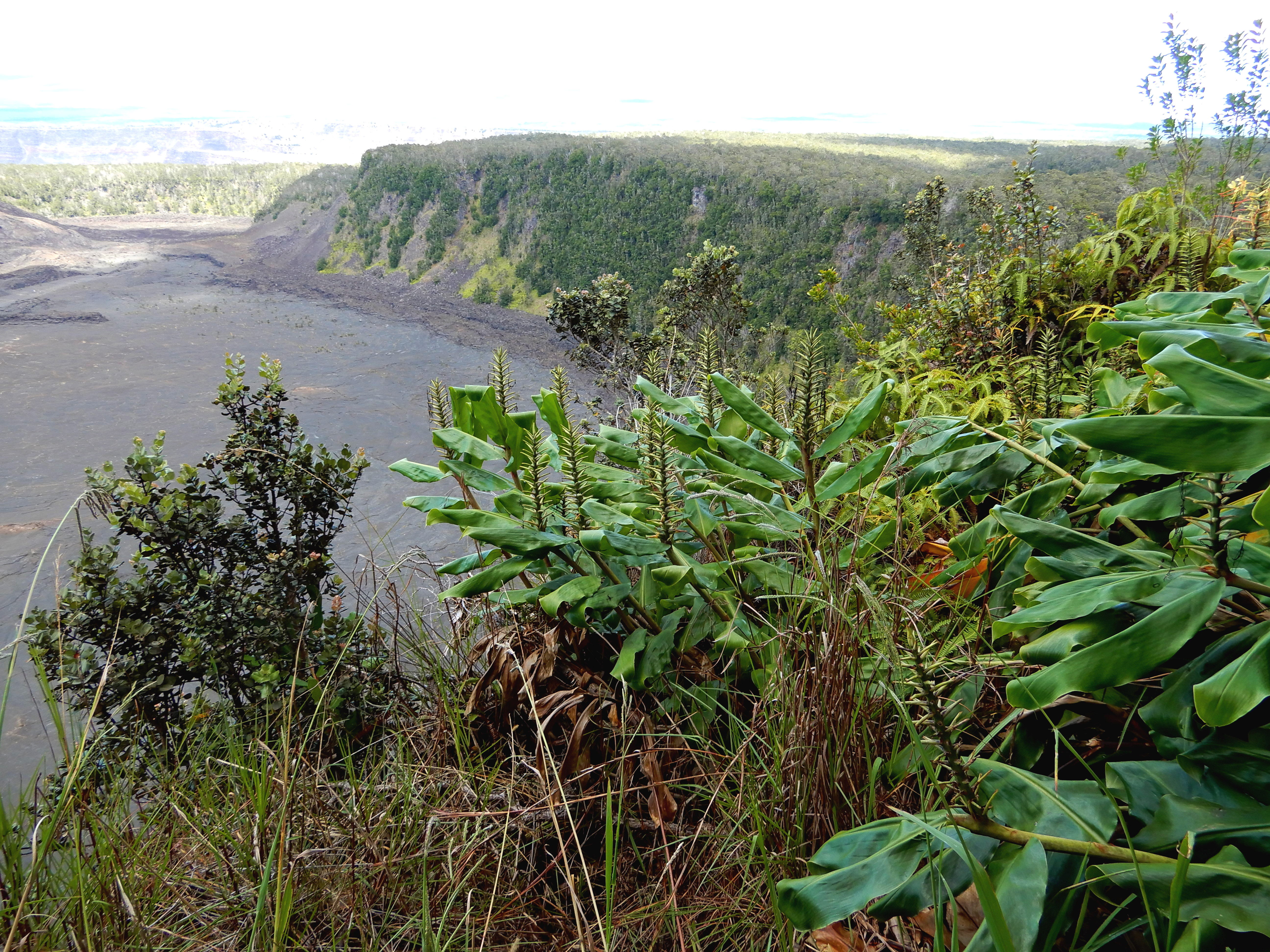
Trade winds blow northeasterly toward the park. There are dry plains inland, but plenty of slopes catch the moisture. Plant life abounds there. Even in this dryness:
Where the rain can fall, things change rapidly. Just a few miles away from the photos above…
Eventually I realized this incredibly wide circle we were tracing surrounded a ‘family’ of volcano craters. We continued past many tantalizing side trips, acknowledging our (a) laziness, (b) general physical un-fitness, and (c) certain time constraints. Turning off of the Crater Rim Drive where it intersected Chain of Craters Road–further westward travel was blocked–we traced the path of lava flows to the ocean.

Now that I know more about this park, I would go back to look into lava tubes, to hike a bit here and there, to see if some of the roads had opened up, and to maybe hike down into a crater…maybe. It looked kinda boring to be truthful.

It all impressed this guy who grew up with the volcanoes of the North Cascades, a far different kind of thing.
